


About Big Bend National Park Images
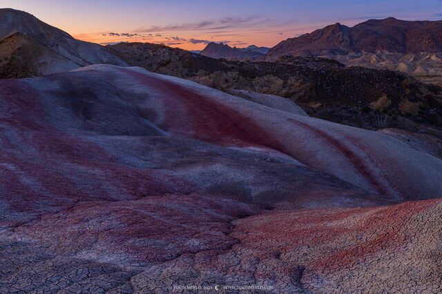
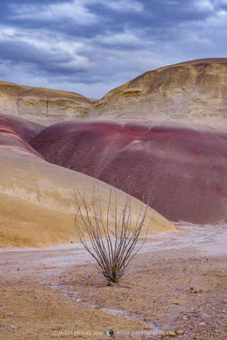
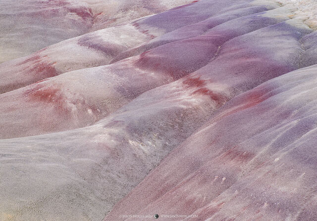
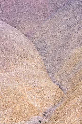
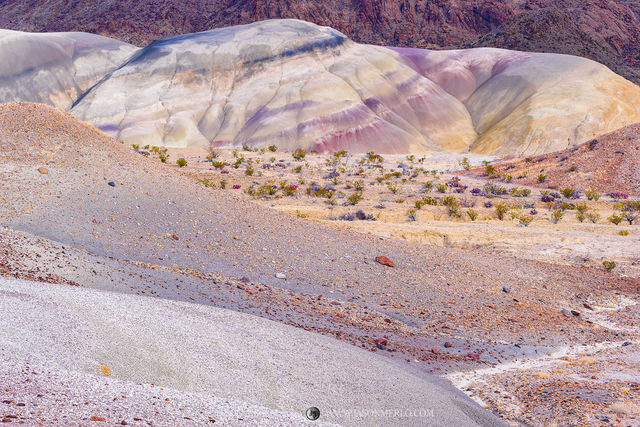
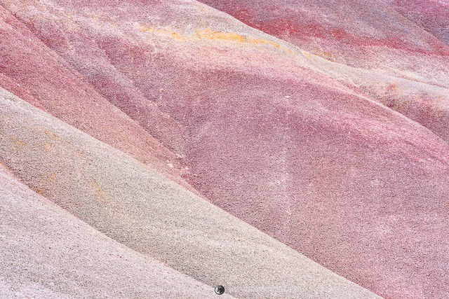
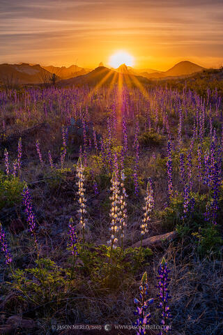
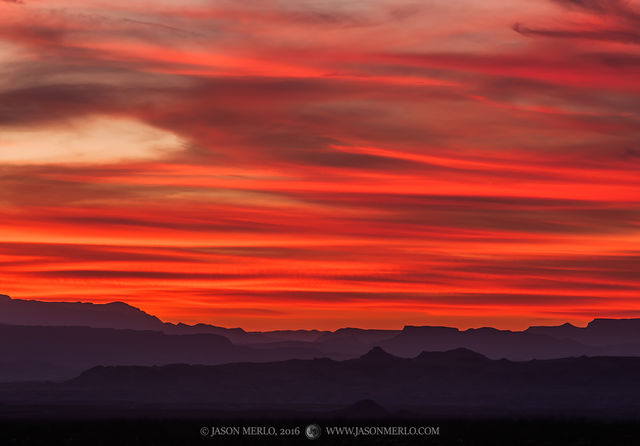
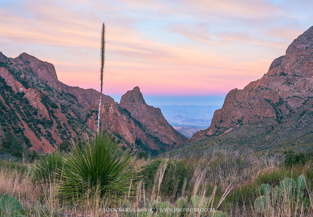
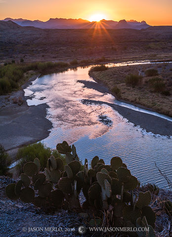
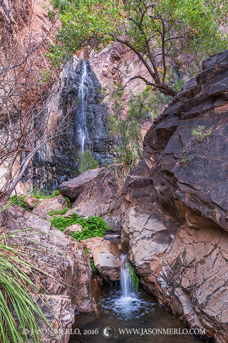
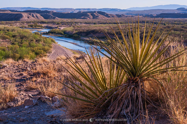
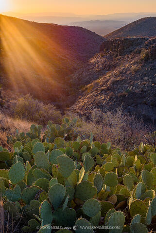
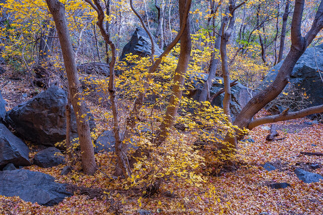
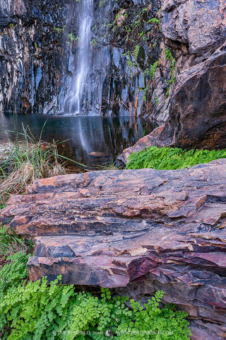
This gallery contains images of Big Bend National Park, located on the Rio Grande in Brewster County in the Chihuahuan Desert region of West Texas. The park is comprised of three Level III Ecoregions spread across 801,163 acres of land: Chihuahuan Desert Grasslands, Low Mountains and Bajadas, and Chihuahuan Montane Woodlands. More simply put, Big Bend's geographic diversity can be thought of as mountains, desert, and river.
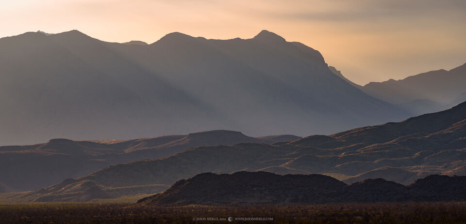
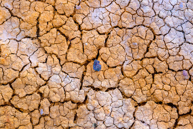
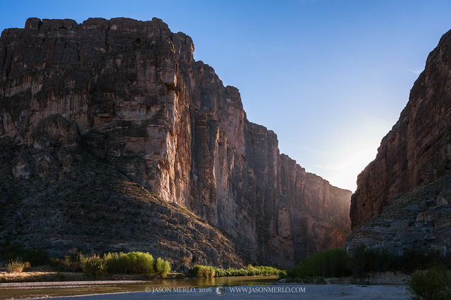
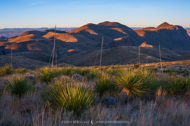
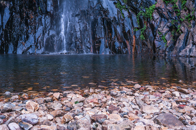
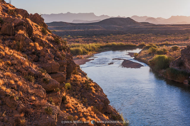
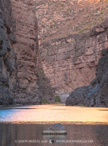
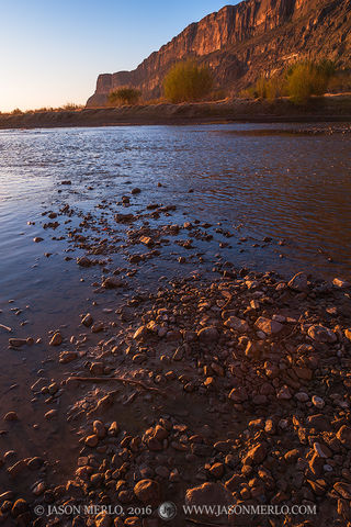
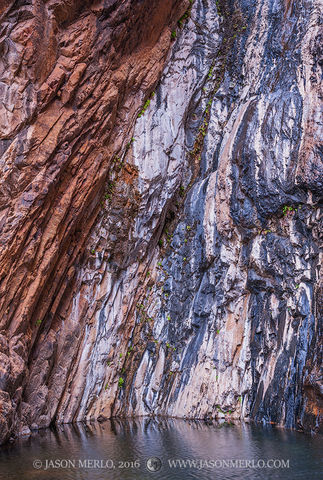
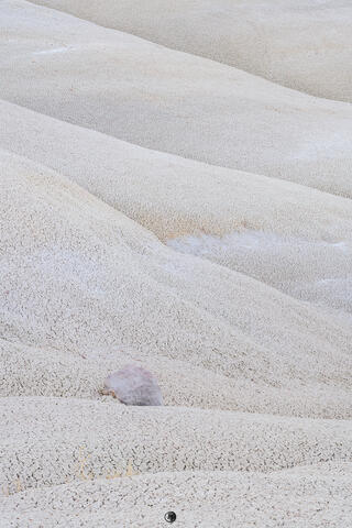
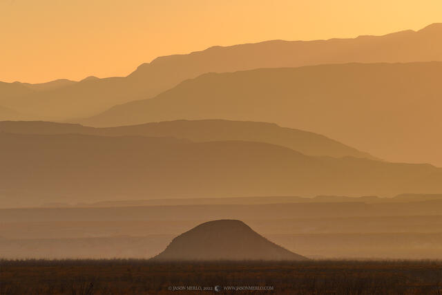
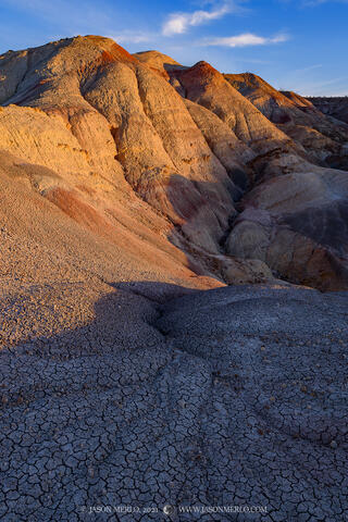
At the heart of the park are the Chisos Mountains, the southernmost mountain range in the United States and the only mountain range contained entirely within a national park. Surrounding the Chisos is open Chihuahuan Desert, the largest ecosystem in the park and the wettest of the four American deserts. The 118 miles of the Rio Grande that form the southern park boundary wind through deep canyons (Santa Elena, Mariscal, and Boquillas) with nearly vertical walls cut through three uplifts made primarily of limestone.
Cultural resources in Big Bend National Park range from the Paleo-Indian period 10,500 years ago through the historic period represented by Native American groups such as the Chisos, Mescaleros, and Comanche. More recently, Spanish, Mexican, Anglo, and Irish settlers farmed, ranched, and mined in the area.
Prints and Licensing
For more information regarding licensing images or purchasing photos as prints click here. If you have a specific inquiry please feel free to contact me using the website's contact form here.