


About Lost Maples State Natural Area Images
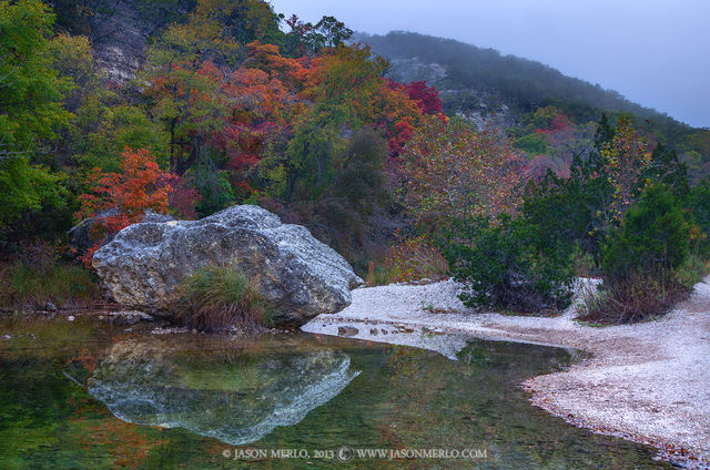
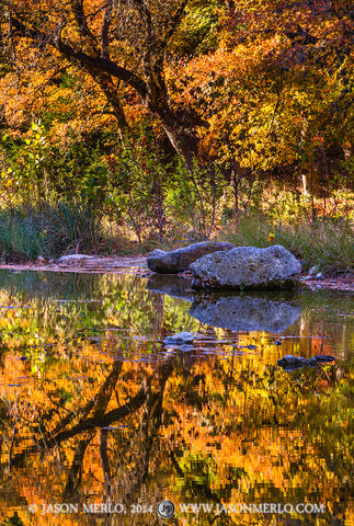
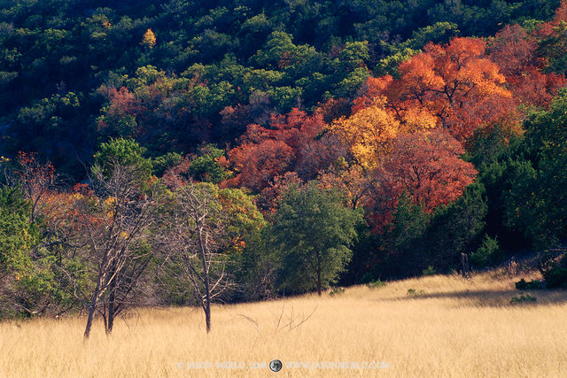
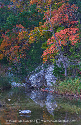
This gallery contains images from Lost Maples State Natural Area, located north of Vanderpool on the Sabinal River in Bandera and Real Counties in the Balcones Canyonlands region of the Texas Hill Country.
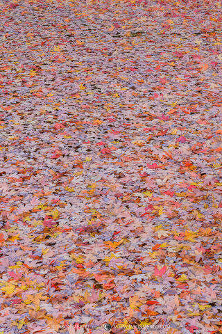
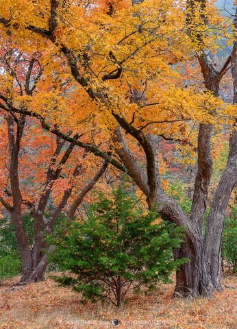
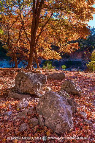
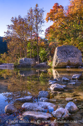
The park is an outstanding example of Edwards Plateau flora and fauna. It is a combination of steep, rugged limestone canyons; springs; plateau grasslands; wooded slopes; and clear streams. It features a large, isolated stand of uncommon Uvalde bigtooth maple, whose fall foliage can be spectacular. Much of the area's limestone bedrock is exposed on elevated terrain, which has a shallow, discontinuous cover of dark gray stony clay.
Primary vegetation includes the Ashe Juniper (Juniperus ashei), commonly known as cedar, several different species of oak, and also big-toothed maple (Acer grandidentatum), sycamore (Platanus occidentalis), mesquite (Prosopis glandulosa), persimmon (Diospyros texana), mountain laurel (Kalmia latifolia), Texas madrone (Arbutus xalapensis), redbud (Cercis canadensis var. texensis), wild grape, several different types of brush, prickly pear, various grasses, and ferns. Maple colors are brilliant if autumn is droughty, or has cold nights, but are muted in a mild, damp autumn. Texas Red Oak (Quercus stellata) gives a fine crimson display almost every year and may retain its leaves well into winter.
Evidence suggests that the maples that are Lost Maples' namesake are relics: remnants of a larger, more widespread population that flourished during the cooler and wetter climate of the last glacial period. Today, soils and microclimate control their present distribution.
Prints and Licensing
For information about purchasing prints or licensing any of the images within this portfolio, please click here.